Albertson Brook Fishing Spot
- Last Modified By: vinny60 on 09/18/09 06:29 PM
- Ask about Albertson Brook in our Fishing Forums
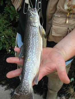
Photos
Fish Species
Comments
-
Have you fished at Albertson Brook? Be the first to comment on this fishing spot.
Albertson Brook Baits and Tackle
Worm Check Prices
- Find the areas of cover with still water. Success with plastic worm and also frog lures.
Minnow Check Prices
- I have used with success minnows, top lures and crank lures. Also small frog lures
Albertson Brook Description
Albertson Brook, also called Albertsons Brook, is the name of Nescochague Creek upstream of the confluence with Great Swamp Brook in the southern New Jersey Pine Barrens in the United States. Official language(s) None defined, English de facto Capital Trenton Largest city Newark Area - Total - Width - Length - % water - Latitude - Longitude Ranked 47th 22,608 km² 110 km 240 km 14. ... For other Pine Barrens, see List of pine barrens; for a discussion of the ecotype, see pine barrens Lake Atsion in the Pine Barrens Map of the Pine Barrens The Pine Barrens, also known as the Pinelands, are a heavily forested area covering 1. ... Albertson Brook is near Hammonton, New Jersey, and flows through Atlantic and Camden counties. Map of Hammonton in Atlantic County Hammonton is a town located in Atlantic County, New Jersey. ... Atlantic County is a county located in the state of New Jersey. ... Camden County is a county located in the state of New Jersey. ... It has a drainage area of 44.3 square kilometers (17.1 square miles), of which nearly half is forest land, and the rest is split between urban and agricultural uses, both of which have tended to pollute the brook in the past. It is fed by a small stream known as the Pump Branch.