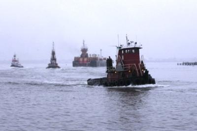
Arthur Kill Fishing Spot
- Elevation: 22'
- Last Modified By: vinny60 on 09/06/09 08:25 PM
- Ask about Arthur Kill in our Fishing Forums
Photos
Fish Species
Comments
-
FISHED THE KILL A FEW TIMS LAST YEAR LOTS OF BIG ROCKS LOST A FEW RIGS AND BUCK TAILS BUITR GOT SOME NICE FLUKE THERE
Arthur Kill Baits and Tackle
Live Bait (Other) Check Prices
- Chucks of spot
Arthur Kill Description
Six New Jersey streams flow into the Arthur Kill, the narrow saltwater channel that separates New Jersey from Staten Island. The Kill’s tributaries total over 75 miles of waterways, including the Elizabeth, Rahway and Woodbridge rivers, as well as Moses, Piles and Smith creeks and their respective feeder streams. The 130 square miles drained by these streams in Essex, Middlesex and Union counties make up the Arthur Kill watershed. Although the industrial shore of the Arthur Kill appears overwhelming, the watershed is predominantly residential with a population density over five times that of New Jersey overall and 75 times that of the nation. Surprisingly, this heavily populated and industrial region retains significant natural stretches along its streams and waterways which protect water quality, prevent flooding, provide habitat for a surprising abundance and variety of wildlife and offer public recreational opportunities.
The Arthur Kill (from the Middle Dutch word kille, meaning "riverbed" or "water channel") is a tidal strait separating Staten Island from mainland New Jersey, USA. Throughout history, it has also been known as Staten Island Sound.